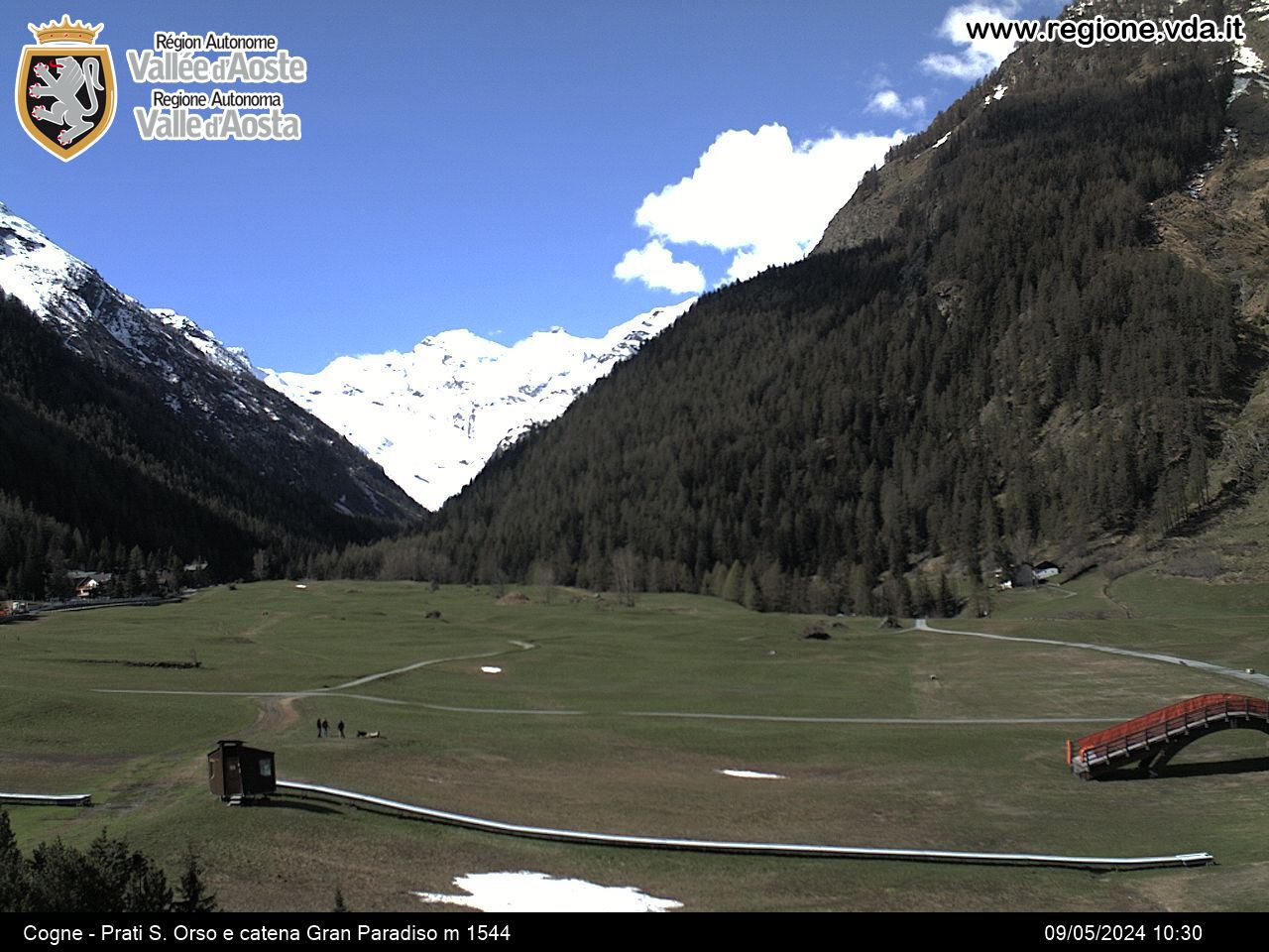


Giroparchi hiking map
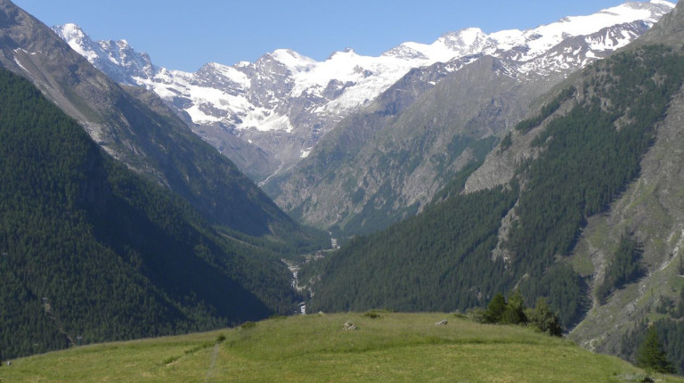
As a constituent part of the Giroparchi project, a hiking network more than 400 km long was created, connecting the 5 protected valleys of the Gran Paradiso National Park (on the Valle d’Aosta side) and Mont Avic Natural Park.
The network outlines 8 trekking trails, named after the project itself and each one identified by a different colour.
Giroparchi red: Gran Paradiso and Mont Avic discovery
Giroparchi green: Forests of Val di Rhêmes and Valsavarenche
Giroparchi blue: Gran Paradiso balcony trail
Giroparchi black: Under the pyramid of the Grivola
Giroparchi yellow: Towards the Tribolazione Glacier
Giroparchi azure: Wandering amidst alpine lakes
Giroparchi orange: Round the tooth-shaped Mont Avic
Giroparchi purple: In circle round the Mine at the foothills of Punta Tersiva
The main tool to delve into the trails outlined above, is the “Giroparchi hiking map”. Designed in a scale of 1:50.000, it shows the area of the Gran Paradiso National Park and Mont Avic Natural Park within the borders of the Aosta Valley, and it covers the entire network of footpaths, though highlighting the 8 Giroparchi trails.
On the reverse of the Map, for each trail, you will find a description of the path and practical information helping you preparing your journey: difficulty grade, recommended stages, elevation, estimated walking times and services in the area (such as mountain huts, bivouacs, free WiFi networks, among others). In addition, you are also provided with information to enhance your safety during the trail and the necessary phone numbers to call in case of emergency and/or necessity.
The action was funded in the context of the project Giroparchi, with reference to line of actions 3.1 - Valorizzazione del Parco nazionale Gran Paradiso e 3.2 - Valorizzazione del Parco naturale Mont Avic of PAR FAS Valle d’Aosta 2007/2013.